06 99 92 23 53
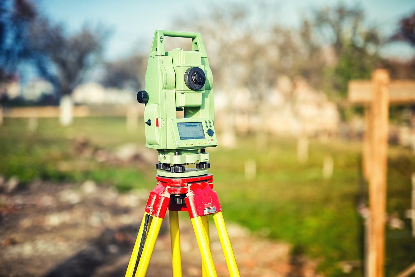
Rilievi topografici di terreni con strumentazione elettrottica e GPS per:• Verifica e rettifica confini• Restituzione profili plano/altimetrici• Frazionamenti• Inserimenti in mappa di fabbricatiRilievi di terreni e fabbricati con Laser-Scanner